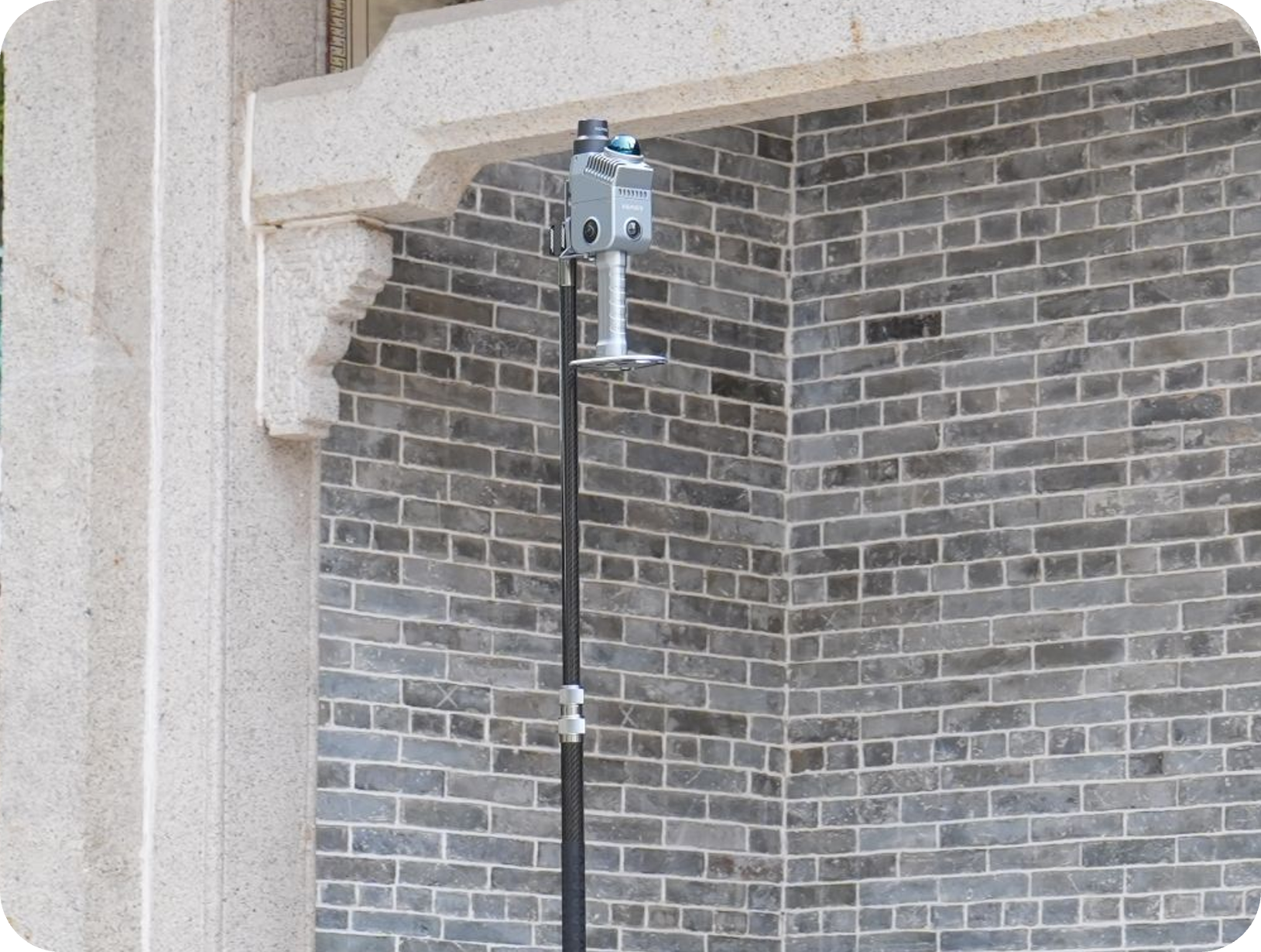
The Gold Standard in Lightweight Scanning.
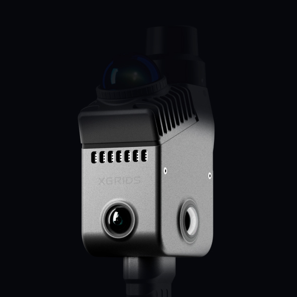
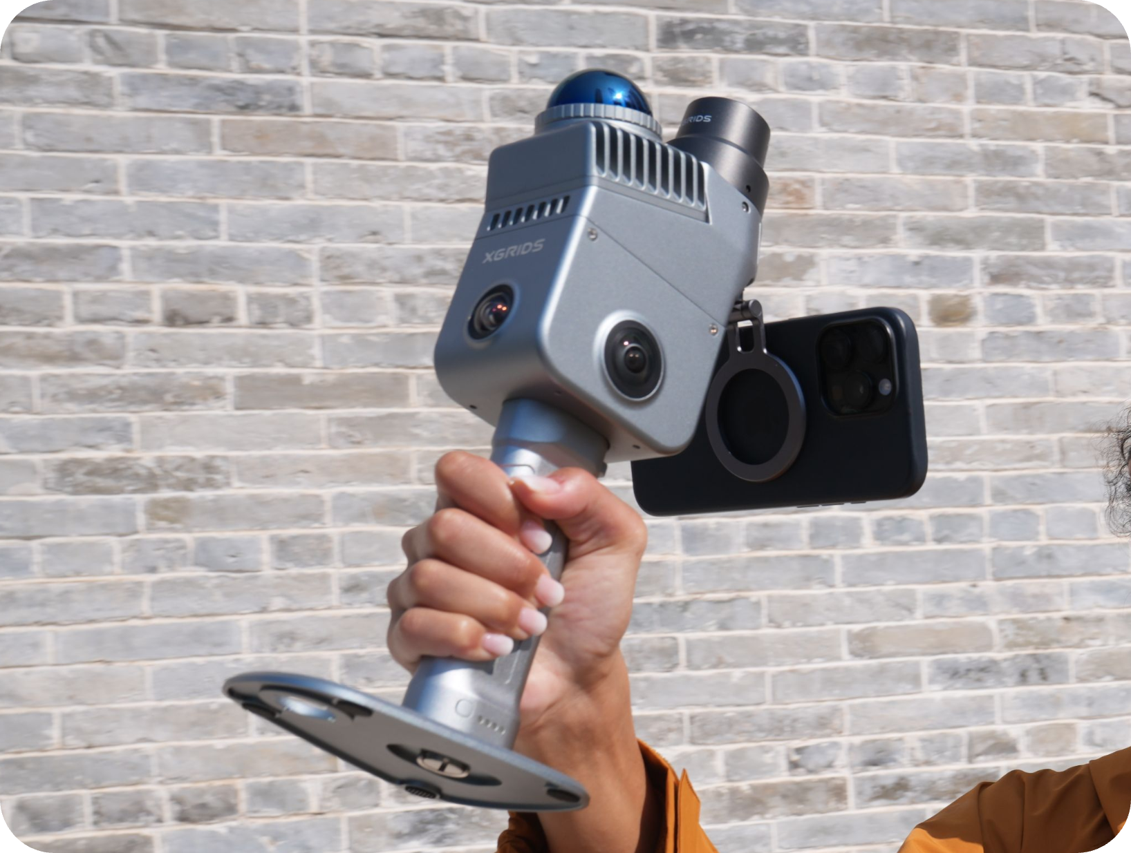
The First True Spatial Camera
Precision Redefined
Consistent, engineering-grade data output.
Built for multi-scenario projects.
End-to-end workflow integration.
Smarter. More processing power.
Complete environmental detail, captured.
Spatial coordinates, precisely locked.
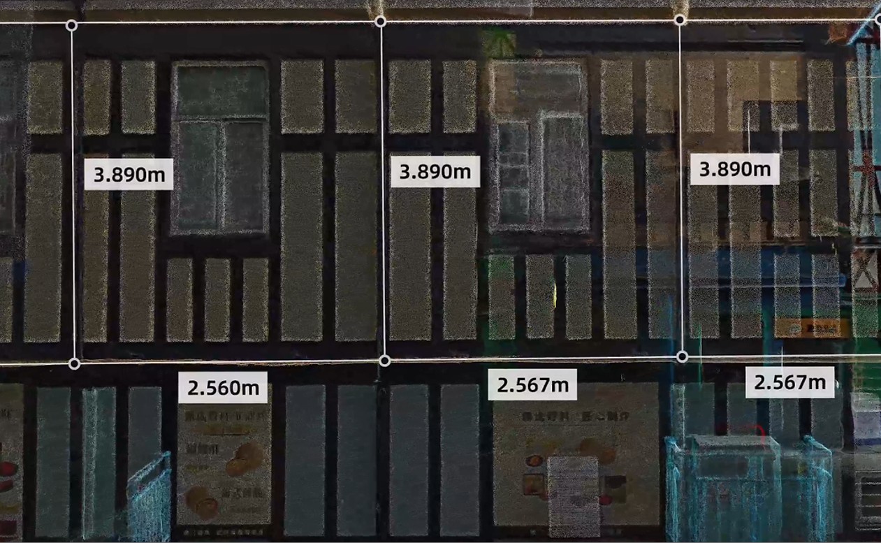
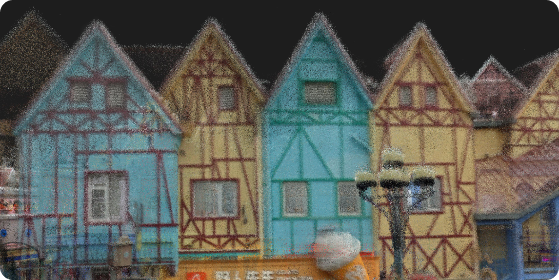
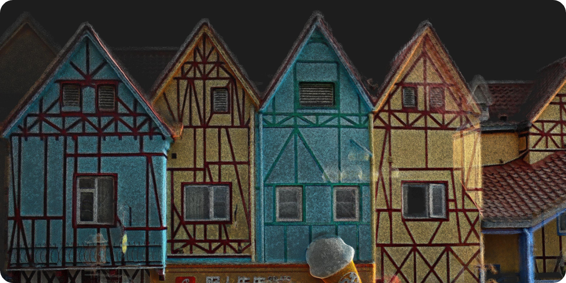
Wall distances and window dimensions you can rely on.
Fine detail, faithfully reproduced.
On-site assurance for urgent projects. Assess data quality as you scan.
The foundation for high-precision, engineering-grade deliverables.
Editable, structured 3D models, generated fast.
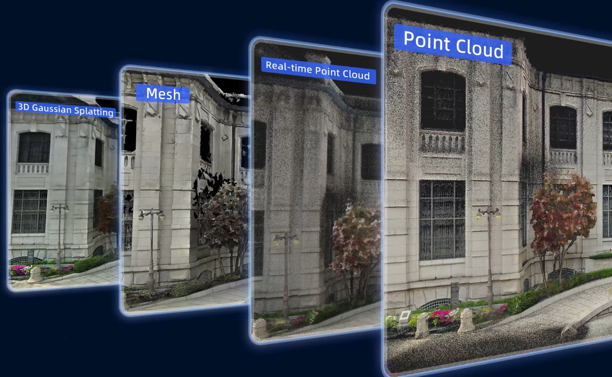
Spatial reconstruction at peak fidelity and realism.
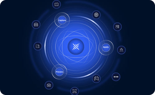
When you choose Lixel K2, you tap into XGRIDS’ complete spatial intelligence platform.
Rapidly digitize real spaces for visual management and ongoing operations
Streamline the point-cloud-to-model workflow, delivered to engineering standards
Feed real-world data into simulation training to accelerate robot perception and decision validation
Point Cloud Processing Workstation
Photo-realistic color, clear even in low light
3D Content Production Powered by Multi-SLAM+3DGS