Real-time scanning and modeling device

The new Lixel L2 Pro combines LiDAR, visual, and IMU modules with AI, delivering real-time point cloud data that rivals post-processed quality, ushering in the “zero post-processing era” for SLAM devices.

True SLAM with real-time output

L2 Pro delivers real-time point cloud data that rivals the accuracy
of L2’s post-processing, with no waiting-instantly ready for use.

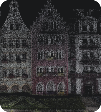
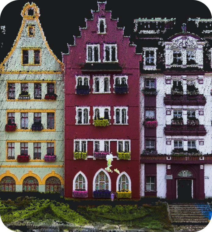
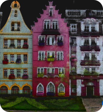
The real-time coloring effect rivals post-processing quality

L2(Real-time output)

L2 Pro (Real-time output)

L2 (Post-processed)

Fully integrated and deeply optimized

L2 Pro (Real-time output)

Absolute Vertical Accuracy¹  –  3cm

Absolute Horizontal Accuracy² –  3cm

Relative Accuracy³ –  2cm
Real-time data with absolute coordinates⁴

The LixelUpSample™ algorithm:
Generating photo-quality color point clouds

1 million points/㎡ with 1mm spacing for dense point clouds,
capturing every detail with precision.
5mm point cloud thickness⁵
for more accurate mapping and line drawing.
Ultra-high coloring accuracy for photo-quality color point clouds.

Reliable SLAM for complex environments

Exclusive Multi-SLAM algorithm enhances adaptability and reliability in challenging environments:

Provides continuous absolute coordinates in satellite-signal-limited areas like indoors or underground ⁶.
Ensures stable mapping in degraded environments such as subways and tunnels

A seamless, user-friendly, and reliable workflow

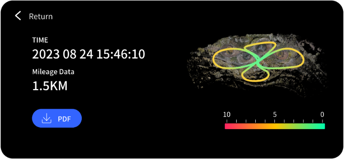
Precision verification report

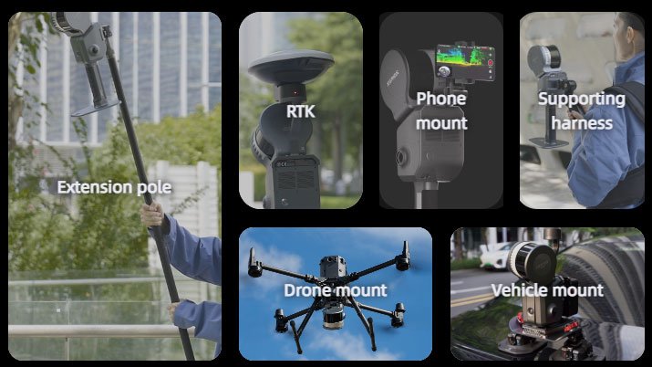
Maximize usability and flexibility

[1]RTK disconnection <100m. [2]RTK disconnection <100m.
[3]Distance between two points is less than 100m. [4]WGS84 and CGCS2000 supported.
[5]Point cloud thickness within 10m of the walking path. [6]RTK disconnection <100m.
Close