Create precise 3D replicas of your facilities by merging aerial and ground data. Gain actionable insights, cut costs, and make faster, better-informed decisions.
Application Scenarios
High-Accuracy Digital Twins: Generate accurate 3D models for asset tracking and infrastructure planning with support for industry-standard rendering engines.
Measurement & Spatial Analysis: Extract exact coordinates, distances, areas, and volumes directly from your model, essential for space optimization and compliance verification.
1:1 Virtual Simulation: Run comprehensive simulations using true-to-scale virtual environments, from traffic flow to emergency response planning.
Interactive Documentation: Embed text, images, and videos in your digital twin for richer user engagement and more efficient collaboration among teams.
Challenges Addressed
Data Integration: Replace fragmented systems and siloed measurements with a single source of truth for all facility data.
Cost Reduction: Eliminate repeated site visits and manual documentation through automated capture and analysis workflows.
Visualization Limitations: Move beyond 2D diagrams and basic point clouds or mesh models to fully-textured, navigable 3D environments.
Complex Analysis & Planning: Base expansion planning, maintenance scheduling, and operational changes on accurate digital representations rather than estimates.
The XGRIDS Advantage
Complete Visual Context
From materials management to space optimization, photorealistic 3D models for both indoor and outdoor environments help teams plan, collaborate, and execute with confidence.
True-to-Life Rendering
Proprietary Multi-SLAM fusion algorithms excel with challenging materials like reflective surfaces, glass, and uniform textures that typically confuse standard photogrammetry approaches.
Streamlined Reconstruction
Single-pass processing eliminates time-consuming manual cleanup, delivering production-ready 3D assets immediately usable in downstream applications and visualization platforms.
Automated Workflow Integration
Purpose-built recognition algorithms for industrial environments enable fully automated capture-to-delivery pipelines, significantly reducing field time and post-processing requirements.
Hardware
凌巡S系列
多源感知应急测绘机载设备
实时建模,广域覆盖,精准识别
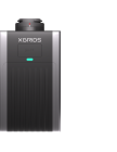
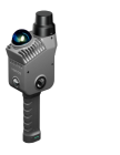
Lixel L Series
High-Precision 3D Scanner
Lixel K Series
Compact 3D Scanner
Software
LixelStudio
Point Cloud Studio
Lixel CyberColor
Next-Gen 3D Content Format
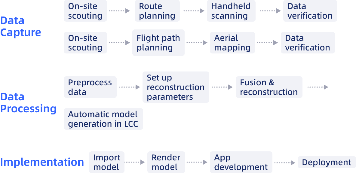
Workflow
Case Studies
Urban Design: How ISL Used XGRIDS 3DGS to Transform Stakeholder Engagement
Engineering-Grade Point Clouds: What the Term Means, Why It Matters, and What It Takes
Archaeological Documentation at Scale: Atlihan Surveying's Digital Heritage Preservation with XGRIDS L2 Pro